Michigan Draws Its Wetland Line 500 Feet Back From the Water. The Map That Says Your Lot Is Clear Doesn’t Count.
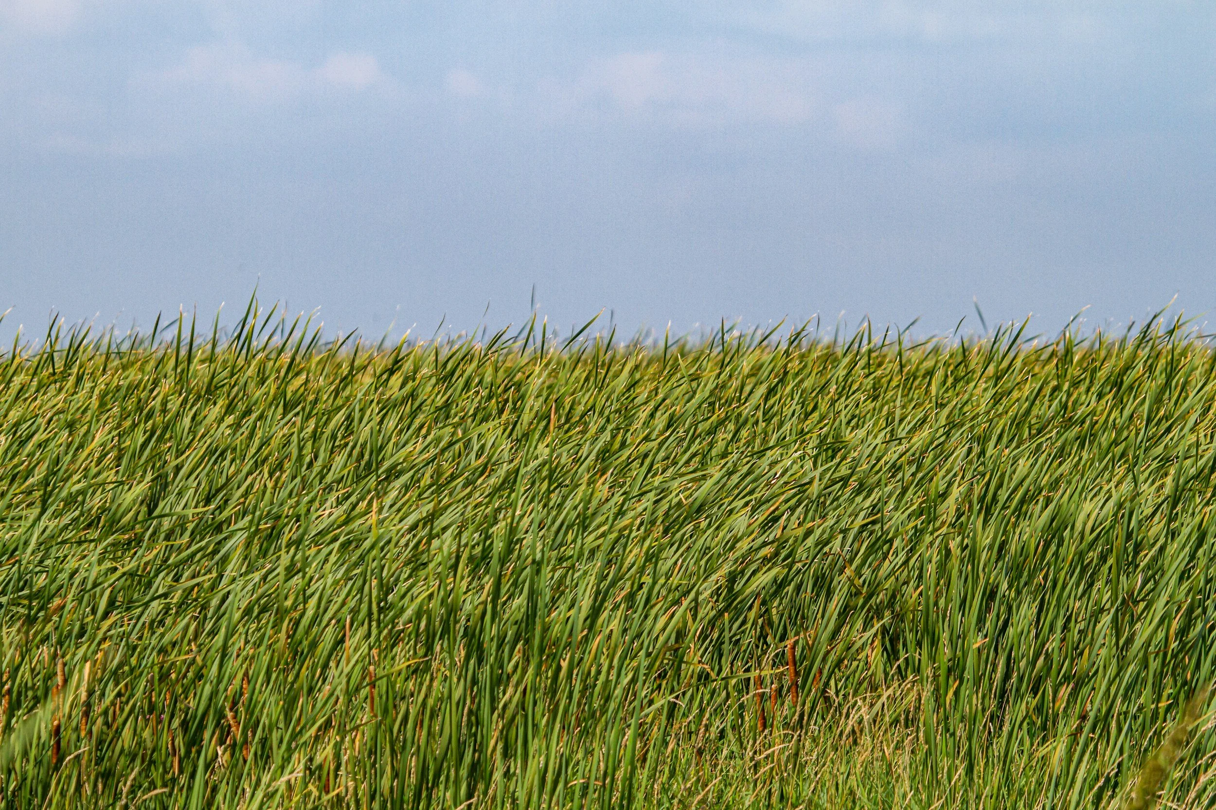
There are exactly two states in America where the federal wetland permit doesn’t come from the federal government. New Jersey is one. Michigan is the other.
Michigan took over Clean Water Act Section 404 permitting back in 1984 and has never handed it back. Florida tried to join the club, and a federal judge vacated the whole arrangement in February 2024, kicking permitting there back to the Army Corps.
So when you’re standing on a piece of Northern Michigan ground wondering whether that low, soft corner behind the building site is a problem, the office that decides isn’t federal. It’s EGLE, in Lansing, under a state law called Part 303.
That distinction matters more up here than almost anywhere else in the state — because of one word buried in the rules. Contiguous.
The 500-Foot Line That Never Shows Up on a Survey
Michigan regulates wetlands that are contiguous to a lake, pond, river, or stream. Reasonable enough. Most people read the word contiguous and picture something touching the water.
It doesn’t mean that. Under Michigan’s administrative rules, a wetland is presumed contiguous if it sits within 500 feet of an inland lake, pond, river, or stream — or within 1,000 feet of a Great Lake. The state presumes a groundwater connection at that distance whether or not you can see one standing there in August.
Now pull up a parcel map of Leelanau, Antrim, or Benzie County and hold that number in your head. Between the inland lakes, the creeks feeding the bay, and a thousand feet of buffer off Lake Michigan itself, an enormous share of the good ground up here sits inside that line by default.
Here’s the part that catches people flat: for contiguous wetlands, there is no minimum size. A quarter-acre wet spot 400 feet back from a two-foot-wide creek carries the same regulatory weight as forty acres of cedar swamp.
The Isolated Wetland Exception Doesn’t Rescue You Up Here
There is a size threshold in Michigan wetland law, and people love to quote it. Isolated wetlands — the ones not near any lake or stream — are only regulated at five acres and up, and even then only in counties over 100,000 population, unless EGLE has certified that it finished the wetland inventory for that county.
Grand Traverse County is sitting around 96,700 people. Leelanau, Antrim, Benzie, and Kalkaska aren’t remotely close. So on paper, that exception is live across our whole region.
In practice it’s close to useless, for two reasons. First, it only applies to isolated wetlands — and thanks to the 500-foot rule, very little in this region is legally isolated. Second, that population number is a moving target, and Grand Traverse has been closing the gap for two decades.
Don’t build a land purchase around an exception that a census could delete.
EGLE’s Own Map Tells You Not to Trust EGLE’s Map
This is where most buyers stop looking, and it’s the single most expensive habit in Northern Michigan land buying.
You can pull up the state’s Wetlands Map Viewer, type in an address, see nothing shaded, and feel great about it. Then you read the disclaimer, which says the viewer shows only potential and approximate wetland locations and is not intended to determine what’s actually regulated under Part 303. Only an on-site evaluation counts.
A lot of what sits under that viewer traces back to National Wetland Inventory data compiled from aerial photography, not from anybody walking the ground. Aerial interpretation is good at spotting a marsh. It’s not good at spotting a half-acre of hydric soil under a closed hardwood canopy, which is exactly what a lot of Northern Michigan wetland looks like.
The map is a screening tool. It’s genuinely useful for ruling parcels in. It cannot rule a parcel out.
What Being Wrong Actually Costs
Michigan can pursue a civil fine of up to $10,000 per day of violation. That’s the headline number, and it’s not the one that hurts most.
The bigger exposure is the restoration order. A court can require you to put the wetland back as nearly as possible to its condition immediately before the violation — which means pulling out the fill you paid to truck in, and potentially the thing you built on top of it.
We see the same sequence often enough up here: somebody buys the pretty lot, clears it, brings in fill to level the low spot, and finds out afterward. Nobody set out to break a law. They just never had the ground looked at by someone qualified to look at it.
The Fix Costs $500 — and It Has a Season
EGLE runs something called the Wetland Identification Program, and almost no buyer has heard of it.
A Level 2 assessment runs $500 for the first acre and $250 for each additional acre, and it comes with a three-year jurisdictional guarantee on the wetland boundaries EGLE identifies inside the assessment area. That’s the state putting its own determination in writing, which is a fundamentally different document than a consultant’s opinion.
Need it faster? Express service is three times the fee and gets you a report within 20 calendar days of a complete application.
Now the catch, and it’s the one that bites Northern Michigan buyers specifically. Applications received from October 1 through winter are held until the growing season starts. Green-up runs around mid-April downstate and later up here — so a request filed in late October is realistically a May answer.
That collides directly with our shoulder-season buying window. If you’re shopping vacant land in the fall, when seasonal sellers get more flexible, a state wetland determination isn’t a contingency you can run inside a 30-day window. Plan around it, or hire a private delineator instead.
The 500-Foot Test
Three questions, before you write the offer on any Northern Michigan vacant land or any parcel where you plan to add square footage.
1. What’s the nearest surface water, and how far is it? Not the lake you’re buying for — any pond, creek, drainage ditch that carries water, or river. If the answer is under 500 feet, assume Part 303 reaches your low ground. Under 1,000 feet from Lake Michigan or Grand Traverse Bay, same answer.
2. Where exactly are the building envelope, the drive, and the septic field — and has anyone walked that ground in the spring? Any Northern Michigan wetland question is easiest to answer in May and hardest to answer in a dry September. A site that looks like firm sand at closing can be standing water at snowmelt.
3. Does the township have its own wetland ordinance on top of the state’s? Part 303 allows local governments to regulate wetlands more strictly than Lansing does. Two parcels on opposite sides of a township line can face different rules, and the township ordinance won’t show up in any state database.
Write the answers into the offer. A wetland determination contingency costs you nothing to ask for and is far easier to negotiate than an appraisal contingency, because most sellers of raw land have never been asked for one.
Who Should Relax
If you’re buying an existing house, on an existing footprint, with no plans to add a pole barn, expand the drive, or push a lawn toward the water — this isn’t your problem. Part 303 regulates dredging, filling, draining, and construction in a wetland. Living in a house that’s already there is none of those.
This is a vacant land issue, an addition issue, and an outbuilding issue. It belongs in the same mental file as the perc test and Michigan’s critical dune boundaries: three separate state programs, any one of which can quietly turn a “buildable” listing into a very expensive field.
Over 25 years in this market, Janel has watched more land deals go sideways on what’s under the ground than on anything above it. Water table, soil, boundaries. The pretty part is never the hard part up here.
If you’re looking at acreage anywhere from Lake Leelanau to Antrim County and you want a second read on what you’re actually buying, that’s a conversation we’re always happy to have — before the offer, not after. You can also browse what’s currently on the market and send me a parcel number.
Taylor Brown, Realtor
Taylor@taylorbrownrealtor.com
