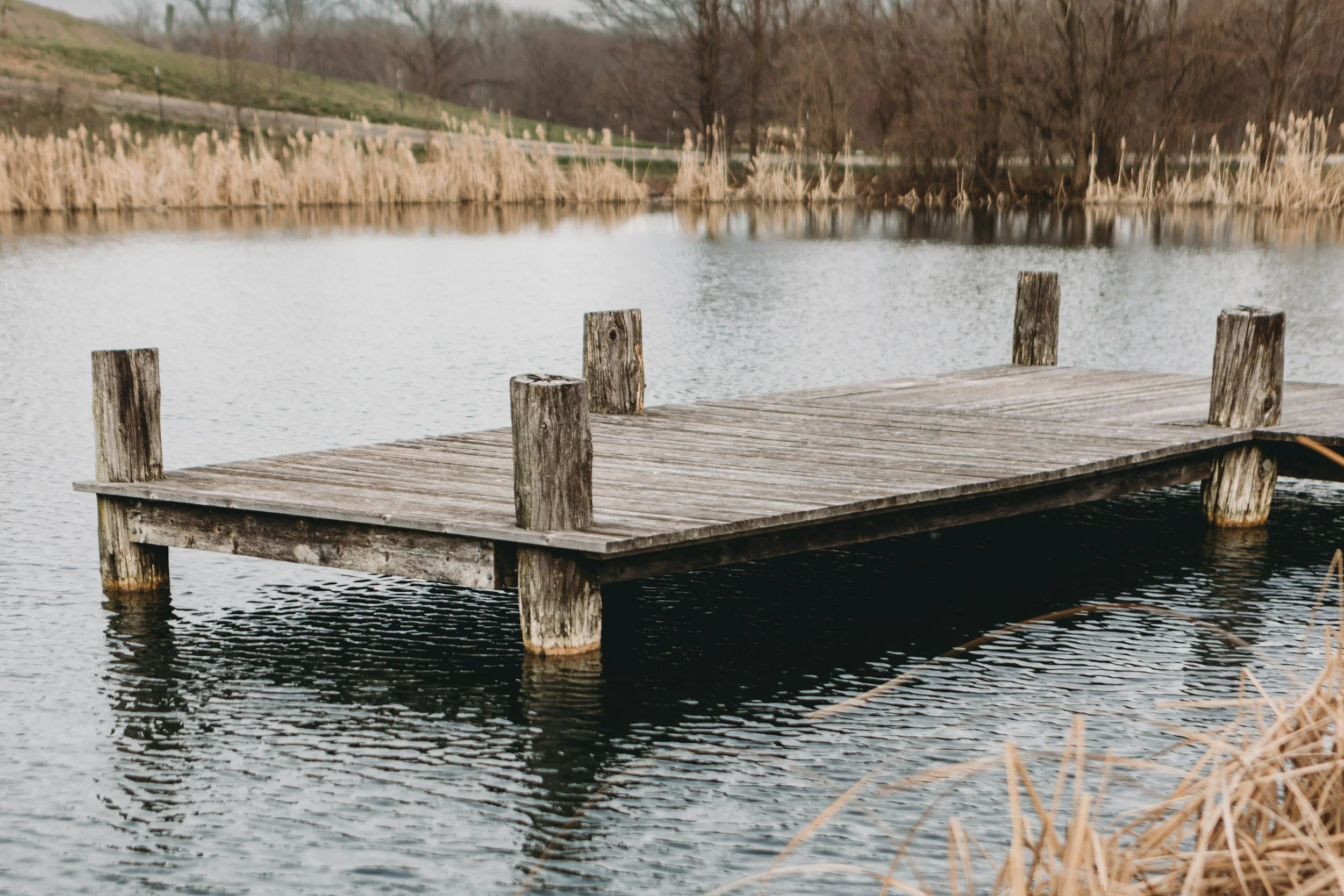
Forty-eight square feet. That’s the entire dock the state allows you on a designated Natural River in Michigan, about a sheet and a half of plywood, and no more than four feet of it can extend past the river’s edge.
One dock per parcel. Natural materials. Designed to “blend with the natural surroundings,” which is a phrase a zoning administrator gets to interpret, not you.
That rule sits in the Michigan Administrative Code, it applies to the Boardman-Ottaway, and roughly nobody brings it up at a showing.
Sixteen Rivers, 400 Feet, and a Map Certified in 1980
Michigan has 16 designated Natural River systems under Part 305 of the state’s environmental act. Four of them run through the counties we work in: the Boardman-Ottaway, the Betsie, the Jordan, and the Upper Manistee.
Designation isn’t a plaque. It’s zoning, administered by the DNR’s Fisheries Division, with its own permits, its own review board, and its own variance process, stacked on top of whatever your township already requires.
The regulated area is every parcel within 400 feet of the river’s edge. The Boardman district map was certified June 2, 1980, and it has governed construction along 130 linear miles of stream ever since, from the headwaters in Kalkaska County down to where the river empties into Grand Traverse Bay at Traverse City.
Your Lot Doesn’t Have to Touch the Boardman
This is the part that catches people. The designation covers the mainstream and the tributaries, and the Boardman’s designated tributary list is long.
Beitner Creek. Jaxon Creek. Swainston Creek. Jackson Creek. East Creek. Parker Creek. Bancroft Creek. Carpenter Creek. Twenty-Two Creek. Taylor Creek. Crofton Creek. Failing Creek. Plus the North and South Branches, and a couple of unnamed streams the rules identify only by section and township.
Twelve named creeks. If the ten acres you’re looking at out past Beitner Road has a seasonal-looking trickle in the back corner, there’s a real chance part of that parcel sits inside a state zoning district, and the listing almost certainly doesn’t mention it.
The Setback Changes at Brown Bridge Dam
On the Boardman mainstream from the confluence of the North and South Branches down to Brown Bridge Dam, the minimum building setback is 150 feet from the ordinary high-water mark.
From Brown Bridge Dam downstream, and on every designated tributary, it drops to 100 feet.
You also can’t build on land subject to flooding or in a wetland, can’t alter the contour of a bluff face or crest, and the ground between the bluff crest and the setback line gets minor landscaping only. A septic drainfield has to sit at least 100 feet back, and your well can’t be closer to the water than the house it serves.
The Vegetation Strip Is the One That Ruins Weekends
Inside the natural river district there’s a natural vegetation strip: 75 feet from the high-water mark on the upper Boardman mainstream, 50 feet on the lower mainstream and the tributaries.
Inside that strip, felling a tree is prohibited. So is removing other vegetation. So is mowing, unless the area was already kept mowed before the rules took effect, or you’re maintaining a single footpath no wider than four feet.
You are allowed to prune trees and shrubs for a filtered view of the river, over a width of not more than 50 feet. Filtered. Not cleared.
And if you were picturing a seawall: vertical bulkheads, gabion baskets, concrete bag riprap and broken concrete are flatly prohibited. Bank stabilization is supposed to be bioengineered, and any rock sitting above the seasonal low-water line has to be rounded fieldstone.
Then There’s the Impervious Cap
Maximum impervious surface is scaled to lot size, and it scales the opposite direction from what buyers expect. Lots under 10,000 square feet get 35%. Between 10,000 and 40,000, 25%. Between 40,001 and 80,000, 20%.
Over 80,000 square feet, a two-acre-plus parcel, which is most of what trades out there, you get 10%. Roof, drive, patio, outbuildings, all of it.
Maximum structure height is 35 feet measured from original grade. One dwelling per lot, unless you go the conservation easement or theoretical-split route. New lots need 200 feet of river frontage, 200 feet of width at the setback line, and 40,000 square feet inside the district.
If the Cottage Predates the Rules
Plenty of places along the river went up before 1980 and sit far closer to the water than 150 feet. Those are legal nonconforming, and they can stay.
What you’re allowed to do to them is narrower than most buyers assume. Ground-floor expansion is capped at 50% cumulative from the date of nonconformance, or 75% if you land a variance shaving no more than 25% off the setback. Cumulative meaning the 1994 addition counts against your 2026 plans.
Here’s the trap worth knowing. If the structure is destroyed by something other than the owner, a storm, a fire, a falling tree, you can generally rebuild as a minor variance, provided you apply within 12 months and rebuild to identical exterior dimensions, configuration and height. If the owner tears it down, or lets it deteriorate past 50% of appraised value, that path closes. Now it’s a full variance and you have to meet current standards to the greatest extent possible.
The Betsie and the Jordan Aren’t the Same
Don’t assume the Boardman numbers travel.
The Betsie runs 52 miles of mainstream from Green Lake near Interlochen out to Betsie Lake, Elberta and Frankfort.
It requires a 200-foot mainstream setback, reducible to 150 on steep banks, with a 150-foot septic setback and a 50,000-square-foot lot minimum. Its rules date to 1977.
The Jordan, up in Antrim and Charlevoix, also runs 200 feet on the mainstream, with a 100-foot vegetation strip, the widest of the three. Its rules date to 1974.
Same program, three separate rulebooks, three different effective dates deciding which lots are grandfathered and which aren’t.
A Note If You’re Buying to Rent
The rules explicitly name a short-term rental facility right alongside single-family dwelling as a principal use, and the DNR publishes a standalone short-term rental FAQ for Natural River property. So a riverfront STR isn’t prohibited by the state program, it’s regulated by it, on top of your township ordinance and whatever Lansing eventually settles on. If that’s the plan, read it next to our 2026 short-term rental guide.
Three Questions Before You Write the Offer
One. Is any part of this parcel within 400 feet of a designated stream? Not “is it on the Boardman.” Pull the district map and work the creek list. Five-minute question, six-figure answer.
Two. What’s already built here, and when? Get the build date against the district’s effective date, then get every addition since. That number is what’s left of your 50%.
Three. What do you actually want to do with the place? Open a view, add a garage, put in a real dock, pave the drive. Say it out loud before closing, not after. A fair number of those get answered no, and it’s much cheaper to hear it in August than in October.
We see this pattern constantly up here: the regulation that matters most is never the one printed on the listing sheet. Janel has spent 25 years watching buyers meet rules like these at the wrong end of a transaction, and the fix hasn’t changed. Ask first, in writing, before the inspection period runs.
If you’re looking at riverfront in Grand Traverse, Benzie, Antrim or Kalkaska County and want to know what the state will actually let you do with it, reach out before you write the offer. I’d rather spend an hour on a map with you than watch a variance hearing eat your fall. You can also browse our current listings.
Taylor Brown, Realtor
Taylor@taylorbrownrealtor.com
